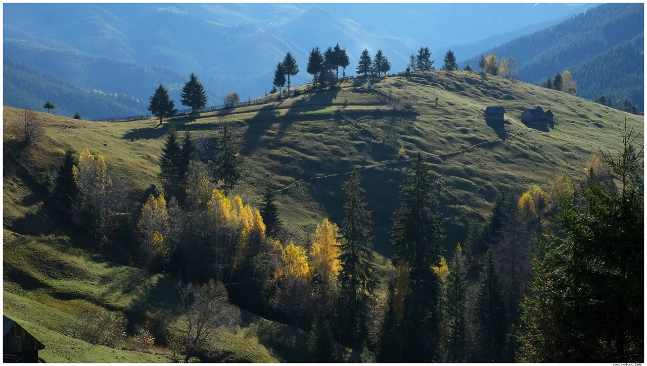
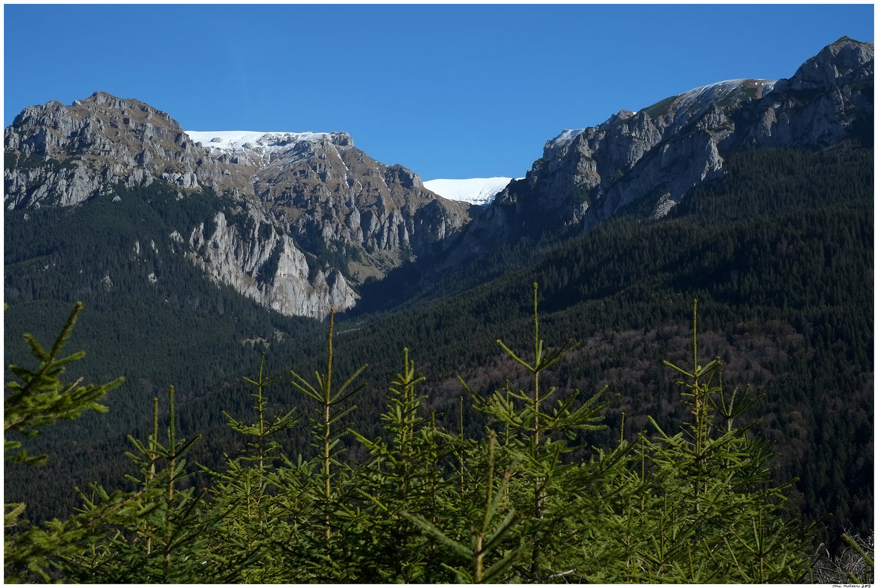
Ever since May, when I have participated in the Ecomarathon race at Moieciu de Sus I wanted to return and enjoy the amazing landscapes at a slow pace. Today it was a glorious autumn day, just perfect for a hike in the beautiful Bran-Moieciu area. I hiked with Vlad, a work colleague and also an amateur photographer on the third loop of Ecomarathon route. Most runners who did this race would agree that the third loop has the most breathtaking views of the course. So here are the photos I took today along the route. All of them are taken with a 50mm focal length equivalent lens...
20 October 2013
13 October 2013
Running with a view: Bratocea Ridge in Ciucas Mountain
Saturday was a perfect autumn day for trail running high on the mountains. It was warm, sunny and windless with great visibility. The early snow of last week is almost entirely gone.
I have chosen to run in Ciucas mountains, along Bratocea Ridge, a rather easy but very spectacular trail running route. This is a popular route for hiking, trail running, ski touring and even mountain biking. It is easy to reach, as it starts from Bratocea pass, just by the 1A National Road. The route follows Bratocea ridge from the pass (1263m) up to Ciucas mountain top at 1952m. It measures about 7.5 kilometers one way with about 750m of accumulated elevation gain. We extended a bit the route with a short loop in the Peak area. Our route had almost 18 kilometers that we did it in 2h40.
On a beautiful day, with clear atmosphere, the views from this route are simply breathtaking. As Ciucas is a quite isolated peak located in the bend of the Carpathian Mountains, the views from the top open for more than a hundred kilometers in all directions.
Here are some photos I have taken on Saturday while running along this route.
 |
| Bratocea Pass. Early morning, the car park is empty. It will be full later! |
 |
| Starting the run in the morning sunshine |
 |
| The route starts wit a winding dirt road through a large meadow |
 |
| View of Cheia Mountain Resort. It looks cold down there! |
 |
| Tigaile Mari rocks. These ate typical Ciucas rock shapes. The conglomerate rocks are shaped by the strong winds that often blow here. |
 |
| The final ascent to the top |
 |
| A look east to the other side of the mountain |
 |
| A rock solid kiss... |
 |
| A look to the west from Ciucas Peak over the Bratocea ridge. In the distance Bucegi Mountains |
 |
| Looking towards south-west from Ciucas peak |
 |
| Looking towards north east from Ciucas peak |
 |
| The steep east side of the peak |
 |
| Bucegi Mountains still keeping some of last week snow |
 |
| Bucegi again... |
 |
| Looking towards North-west to Piatra Mare and Postavarul mountains |
 |
| Running with a view |
 |
| Last view of Bucegi Mountains before descending into the forest |
 |
| Back to Brasov on the 1A road |
Subscribe to:
Comments (Atom)


